
[aesop_content color=”#000000″ background=”#ffffff” columns=”1″ position=”none” imgrepeat=”no-repeat” floaterposition=”left” floaterdirection=”up”]This walk starts on Watagan Creek Road and soon crosses the Watagan Valley Creek to pass through open farmland. It soon leaves the Watagan Valley and climbs steeply up through the forest and along a dirt road, passing a campsite and rest area before arriving at the Flat Rock Lookout. This natural rock platform offers expansive views across the Congewai Valley to the east and north.
Download the map and tracknotes for this section of GNW at Watagan Creek Valley to Flat Rock section.
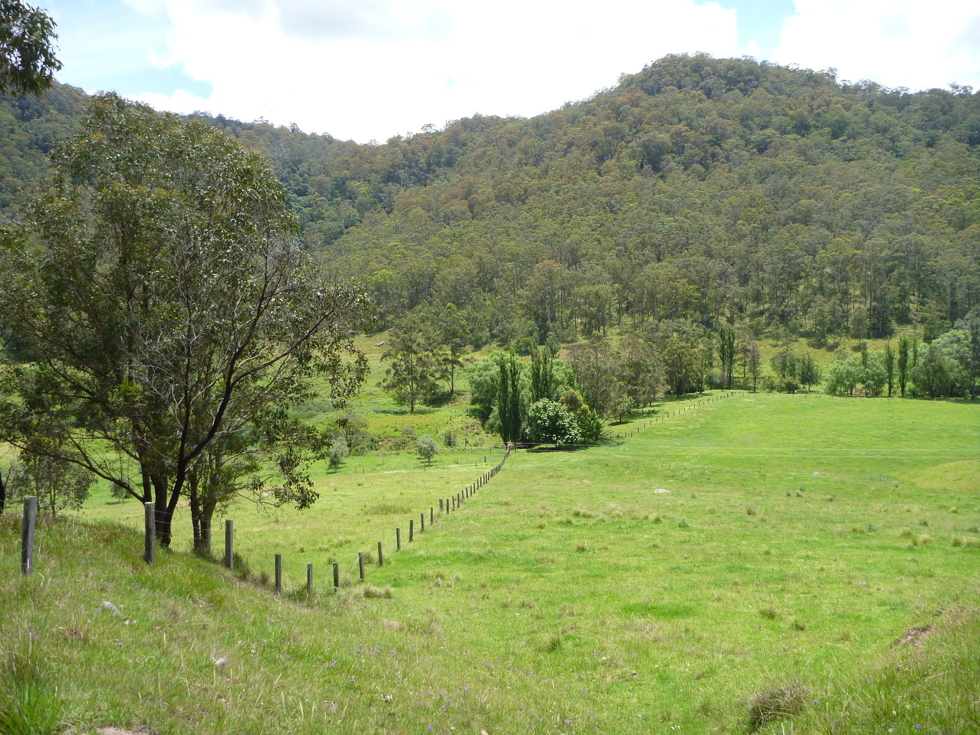
Passing through farmland south of Watagan Creek crossing
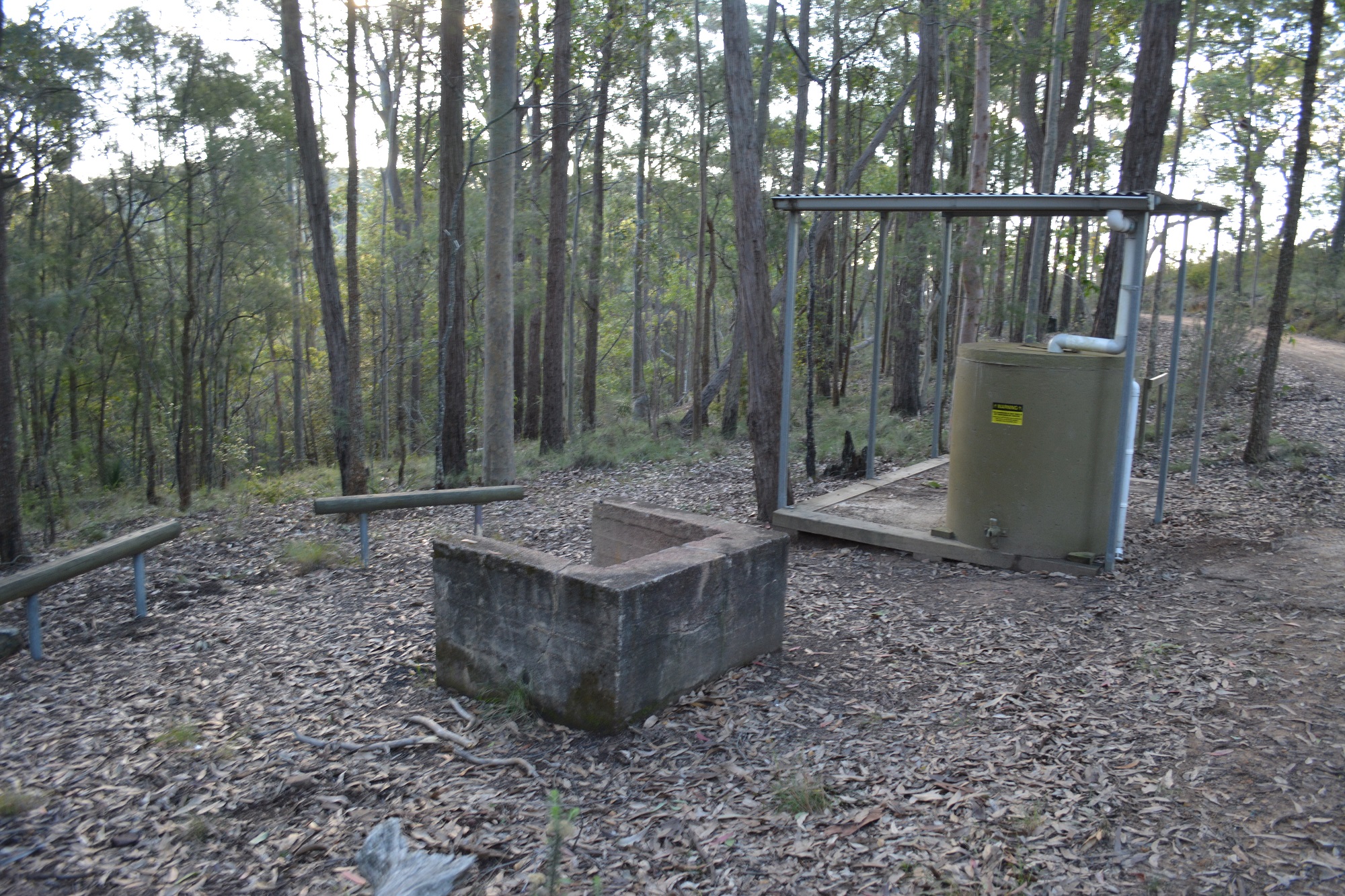
Walkers Rest Area Langans Rd
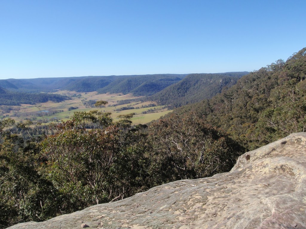
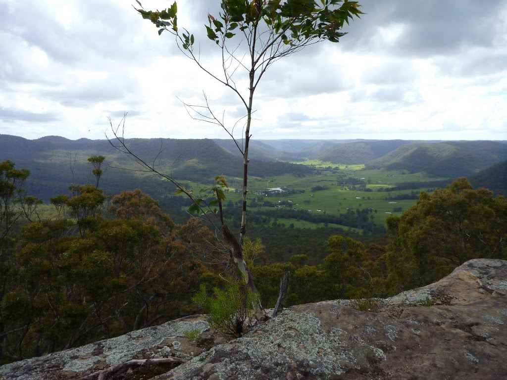
View from Flat Rock Lookout
[/aesop_content]