
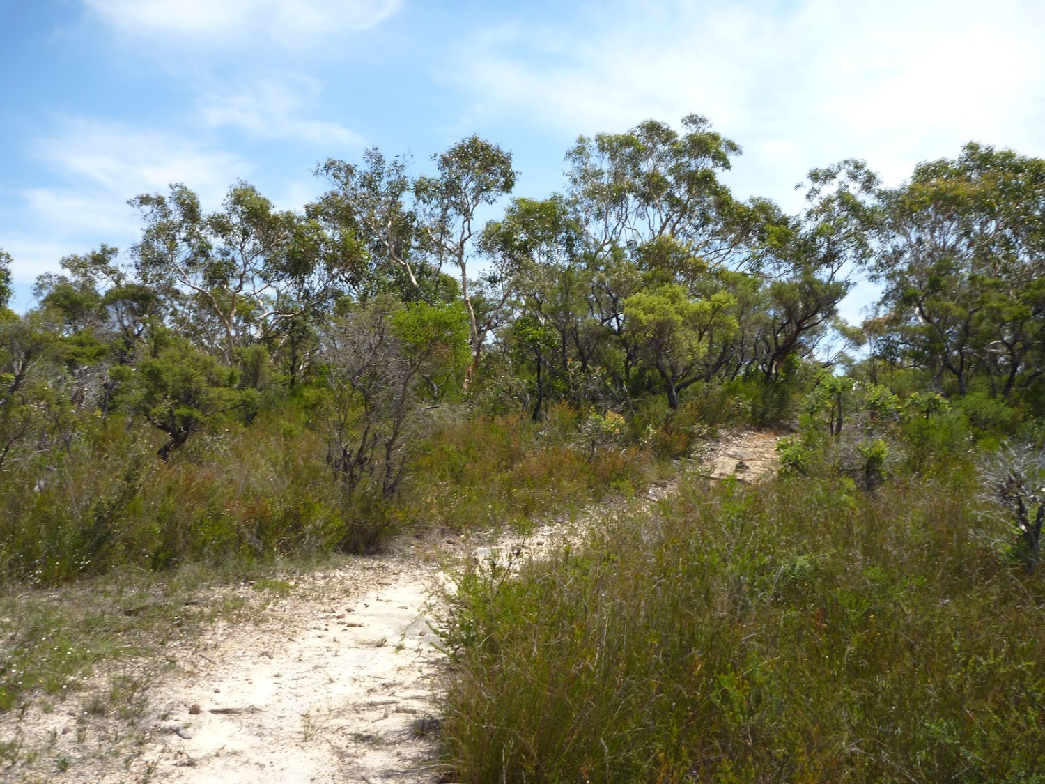
[aesop_content color=”#000000″ background=”#ffffff” columns=”1″ position=”none” imgrepeat=”no-repeat” floaterposition=”left” floaterdirection=”up”]This walk explores rural valleys and a section of Jilliby State Conservation Area. Starting at Ourimbah Valley Trackhead, walk into Hidden Valley along the dirt road, following a trail beside Ourimbah Creek to Stringy Bark Point. This is a mossy area with many ferns near a wide, sandy section of Ourimbah Creek. A bit further on, the track crosses Ourimbah Creek and continues up the ridge to Tooheys Road. After turning off the old Tooheys Rd, the Great North Walk leads along a narrow track and across the mossy and delightful Dead Horse Creek. The track then meanders through a heath and scribbly gum forest to Cherry Lane. After about a 1.5km road walk, you will come to the GNW trackhead on Great Rd, at the start of the Bumble Hill Dray track.
Download the map and tracknotes for this section of GNW at Ourimbah Valley Trackhead to Greta Road section.
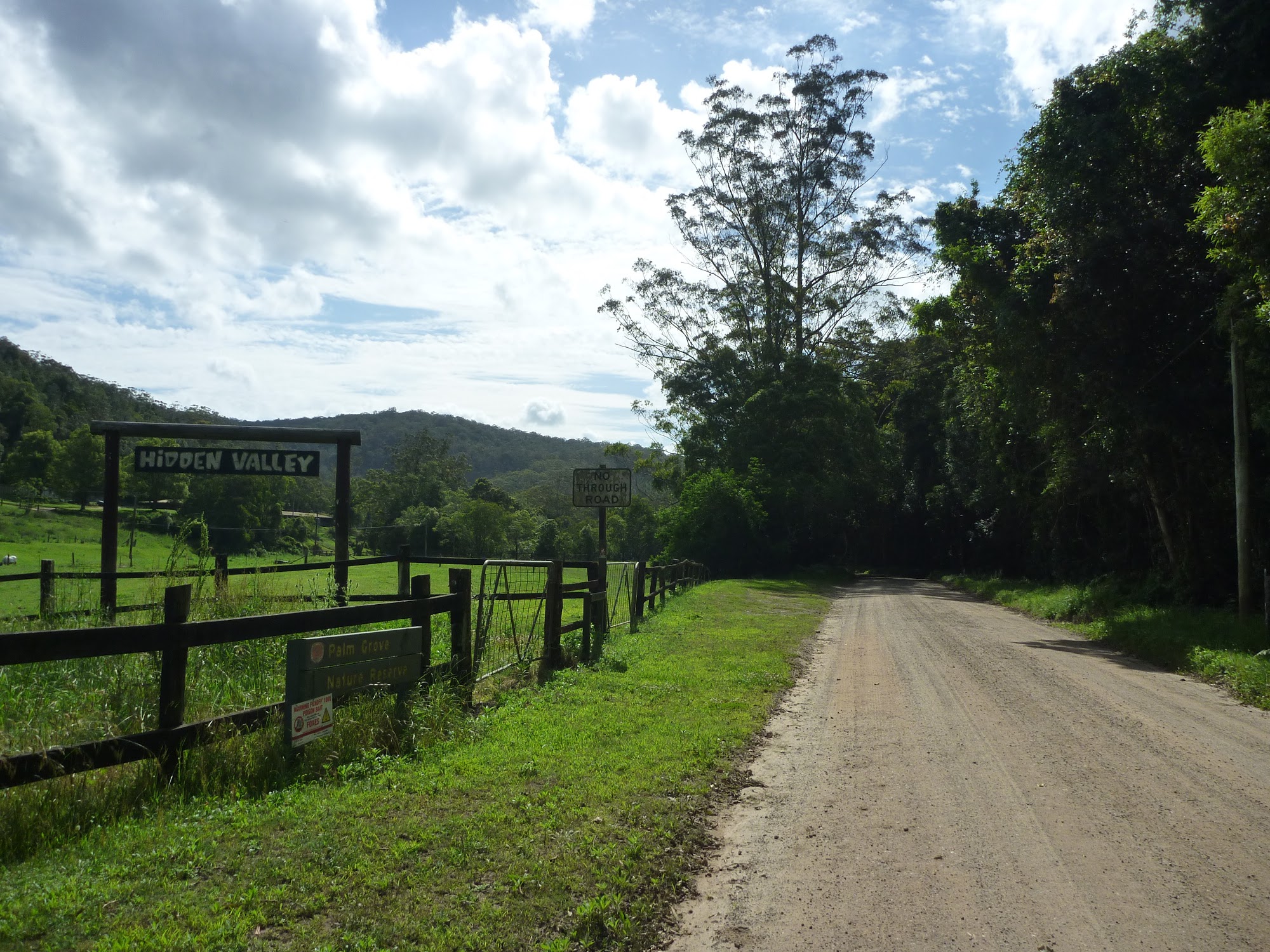
Walking along Ourimbah Creek Road beside Hidden Valley
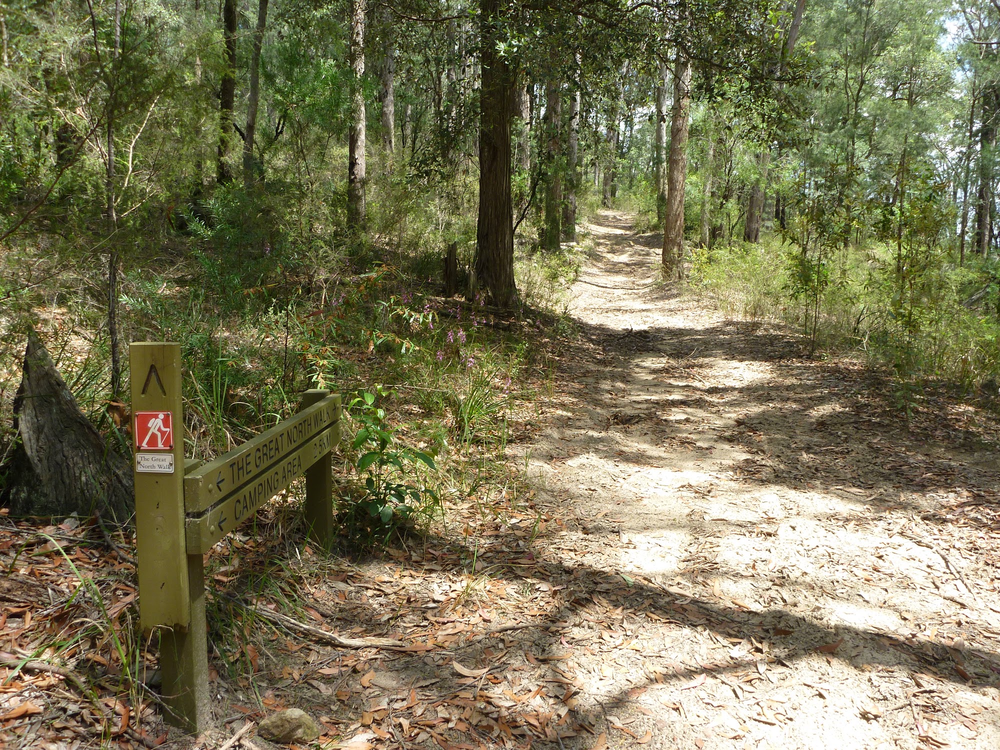
Intersection with Tooheys Rd
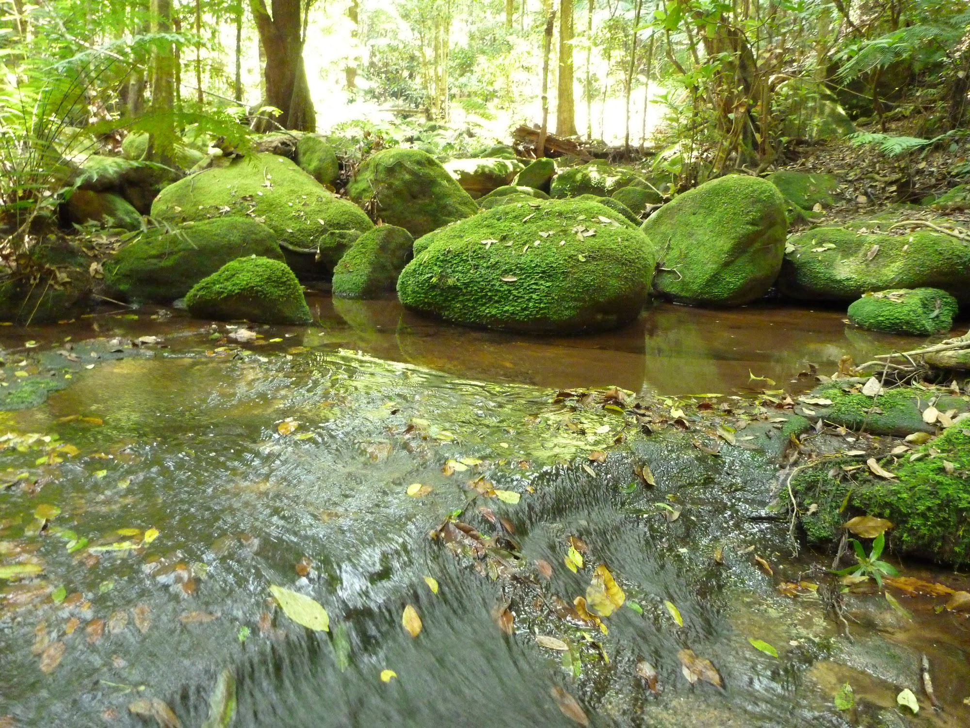
Dead Horse Creek
[/aesop_content]