
[aesop_content color=”#000000″ background=”#ffffff” columns=”1″ position=”none” imgrepeat=”no-repeat” floaterposition=”left” floaterdirection=”up”]This walk explores some grand views, pleasant cascades, varied bushland and remote areas of Brisbane Water National Park. From Patonga, the walk stretches up the ridge, with a short side-trip to enjoy the views from Warrah Lookout before following a series of dirt roads and management trails to Patonga Creek in the heart of the park. The walk then leads along a mix of trails and tracks, passing Mount Wondabyne before crossing a few cool gullies. Past Myron Brook it heads back down to the water’s edge and the remote and unique Wondabyne train station.
Download the map and tracknotes for this section of GNW at Patonga to
Wondabyne Station section.
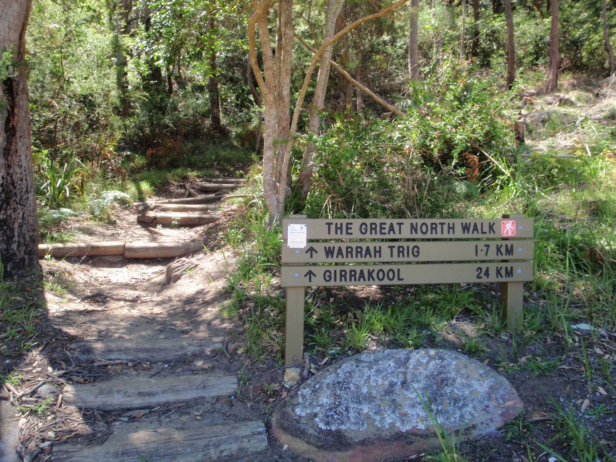
Great North Walk sign at bottom of Patonga Track
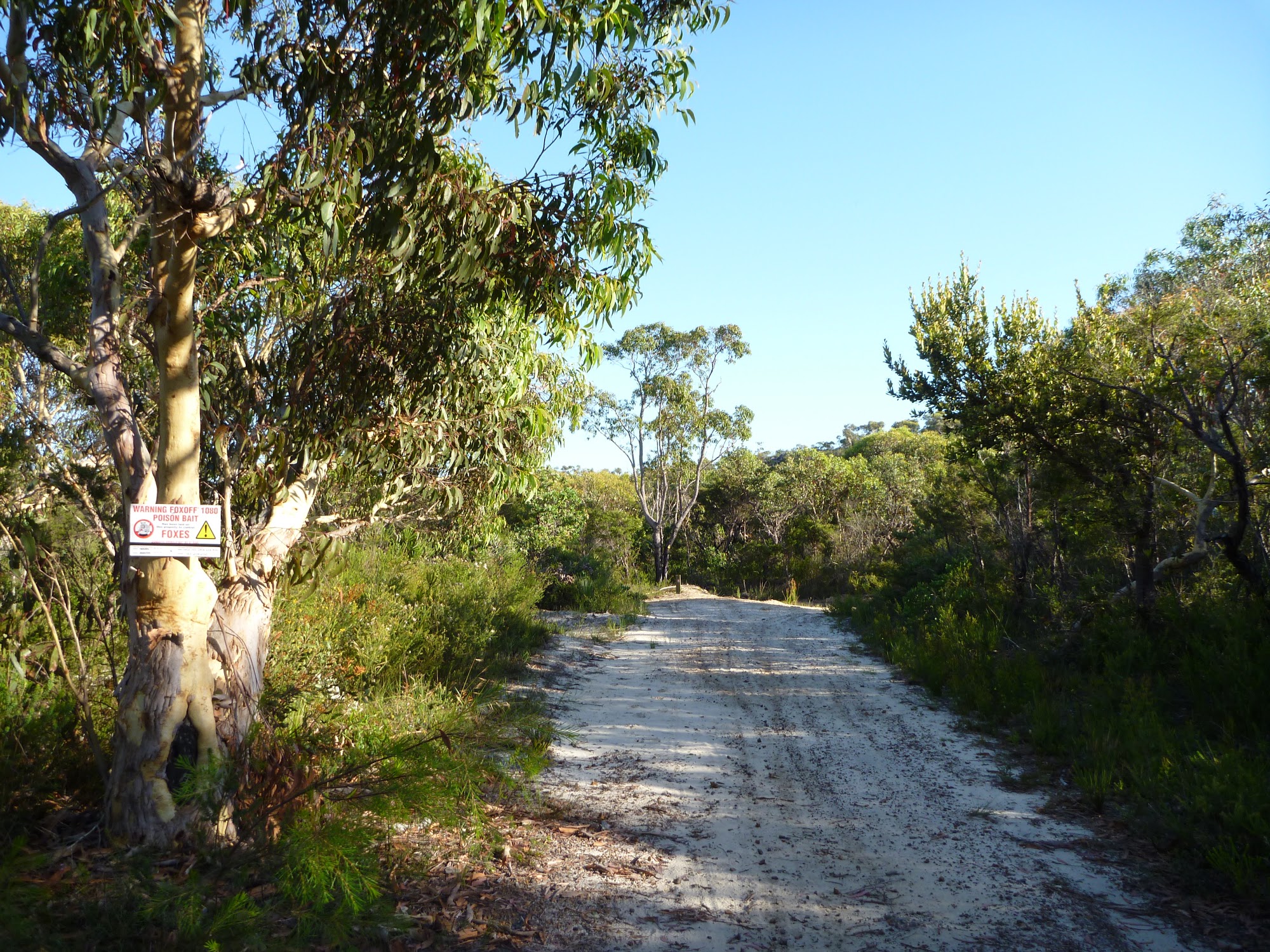
Walking along the wide sandy trail north of Patonga Dr
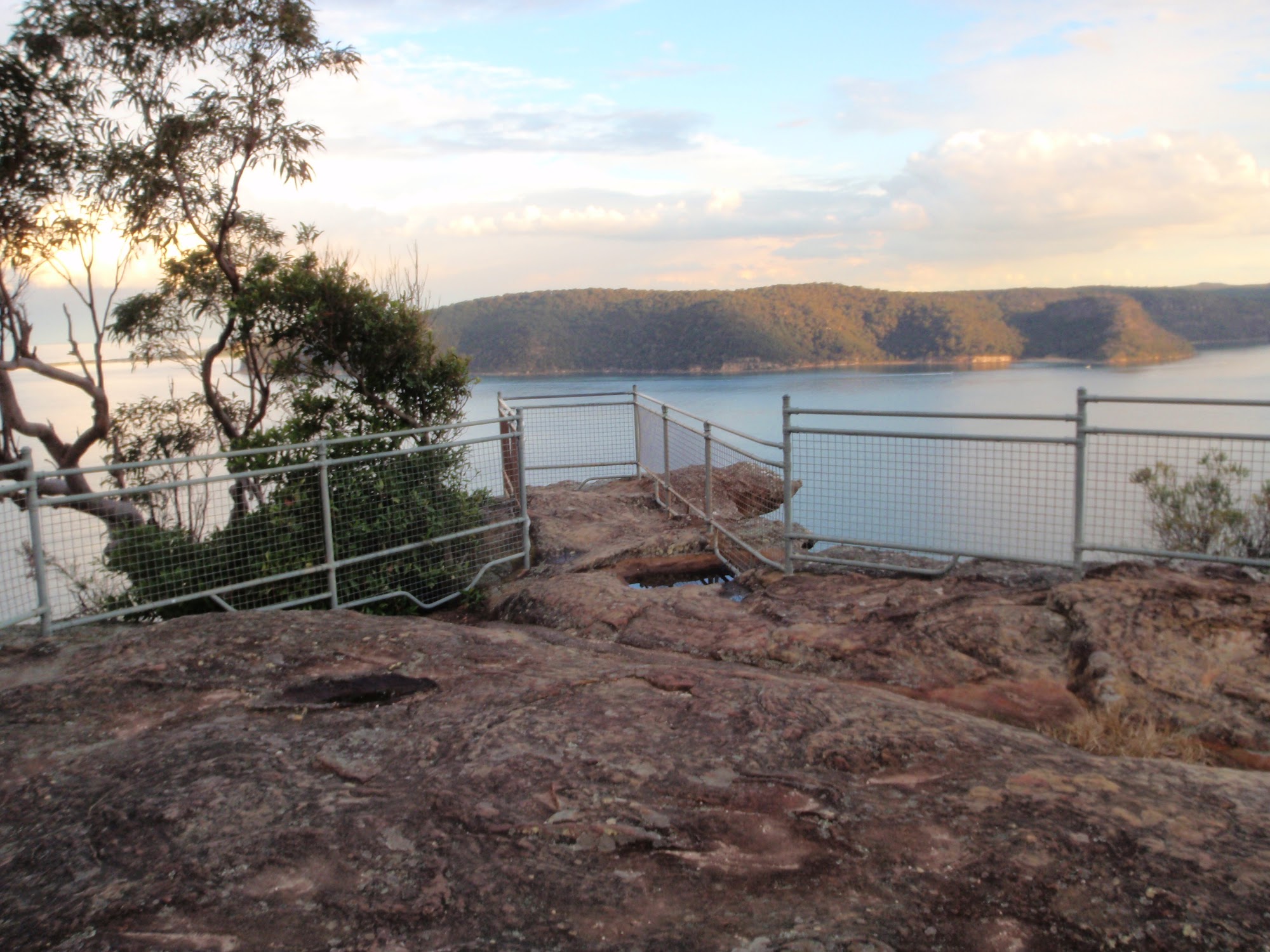
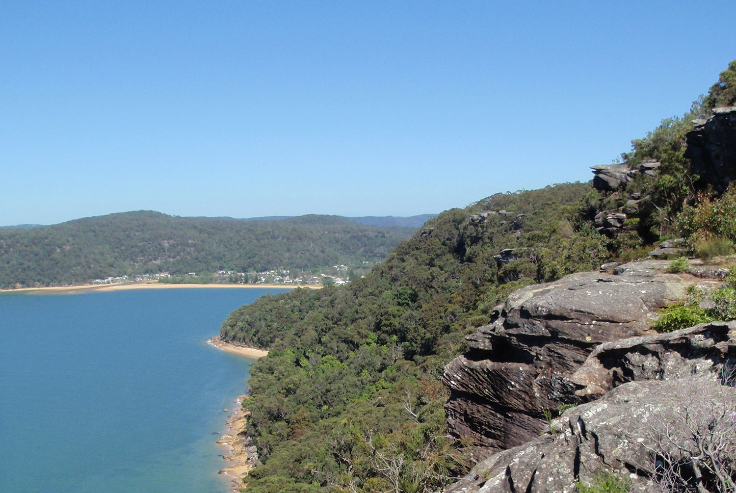
Warrah Lookout
[/aesop_content]