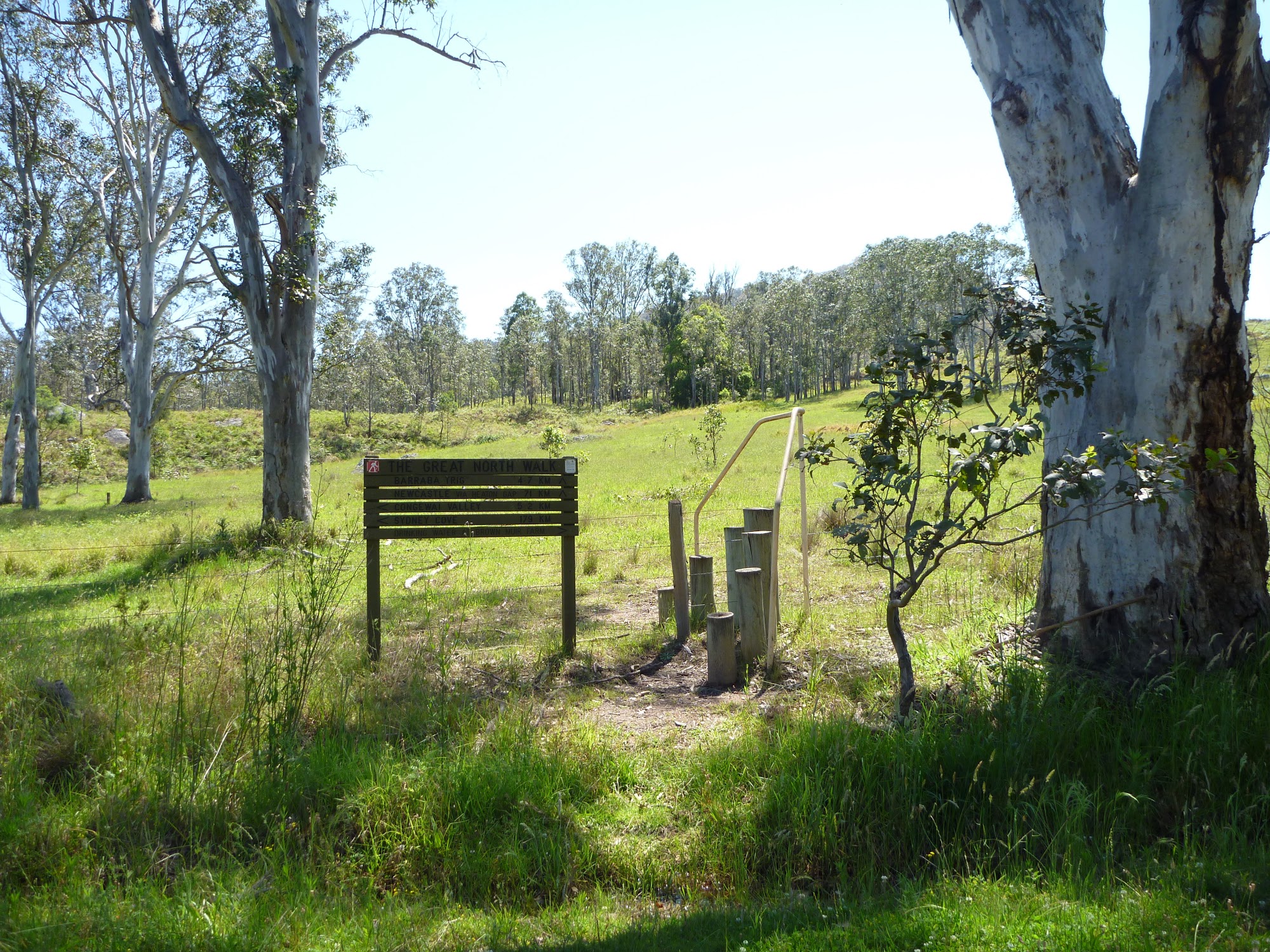
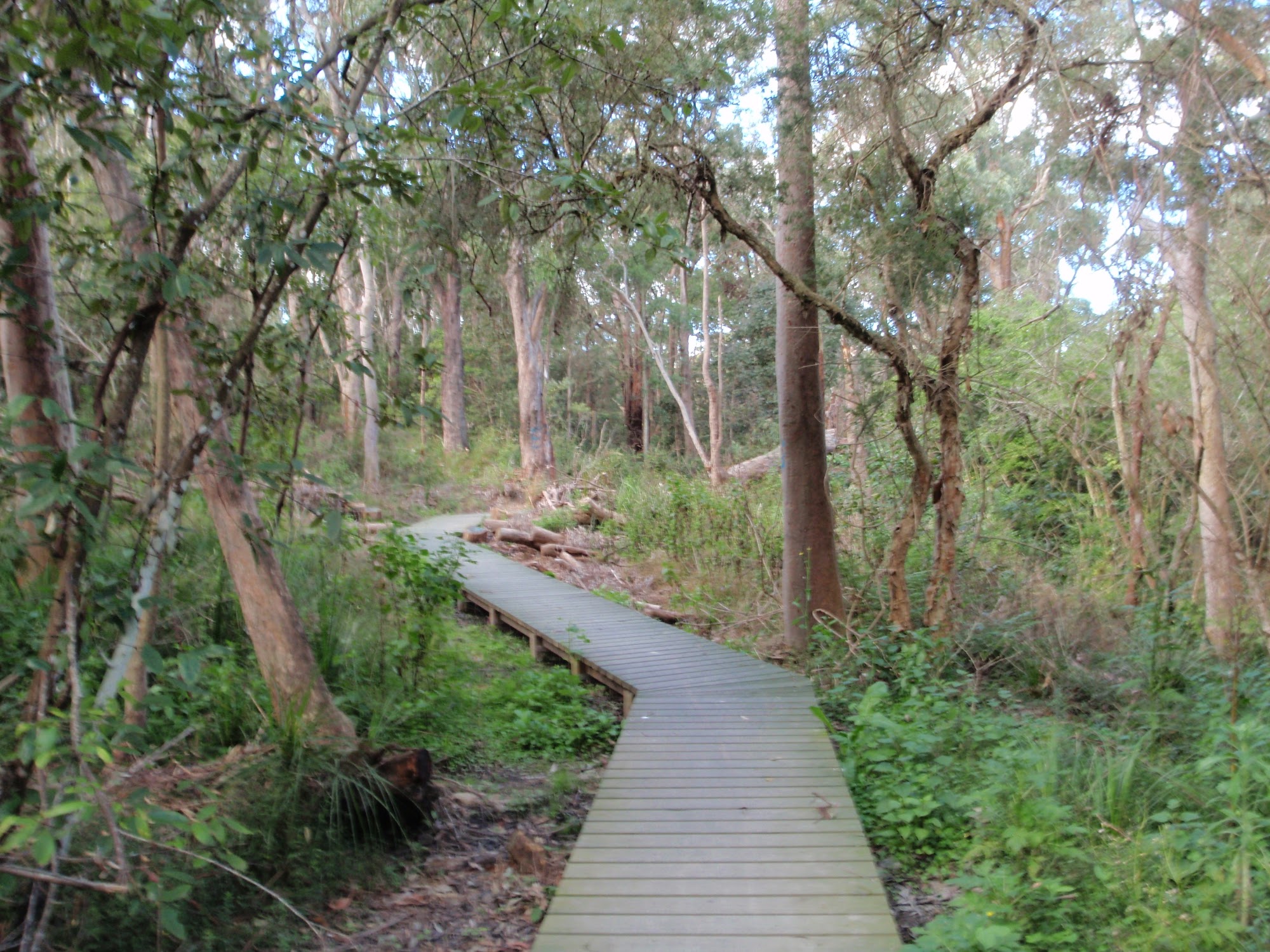
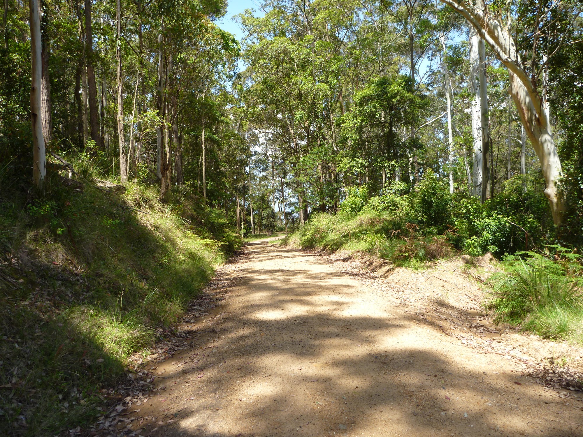
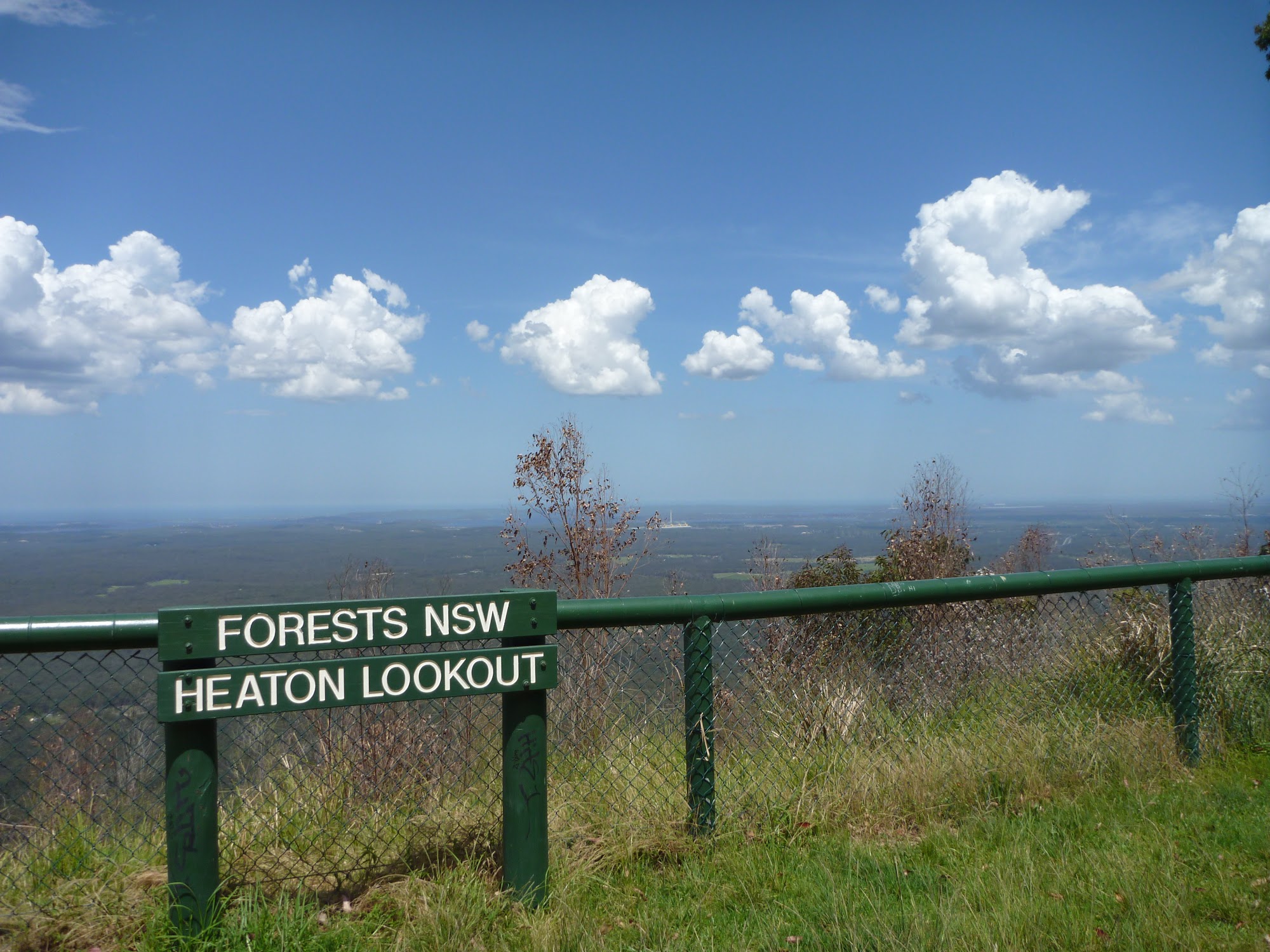
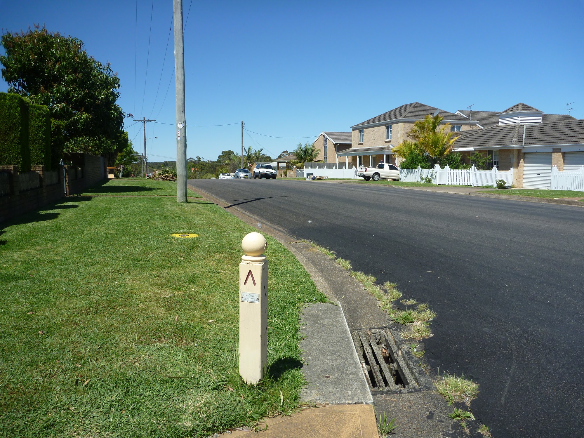
TRACK
Short walks
Weekend walks
Inn to inn walks
Thru hike
History
PLAN
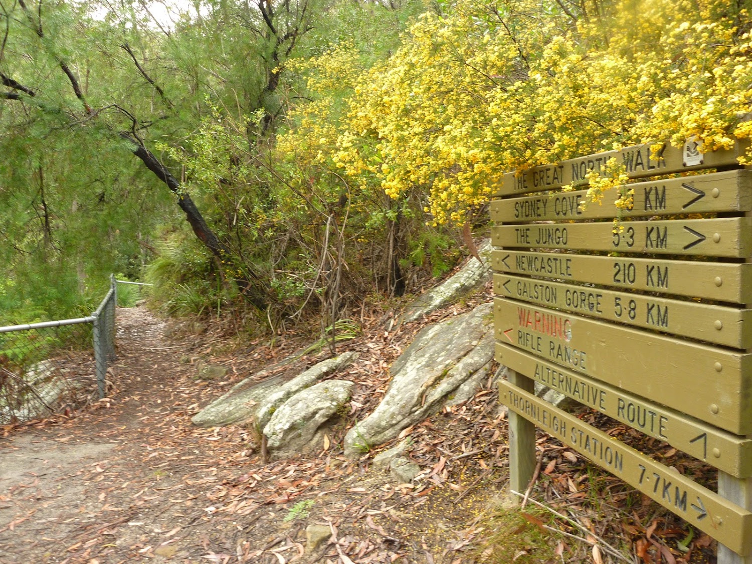
Interactive map
How to get there
Accommodation
Prepare
Gear
Gear for day walks
Gear for multi-day walks
Bushcraft
Slip Slop Slap Seek Slide
Think Before You Trek
Leave No Trace
Safety checks
RESOURCES
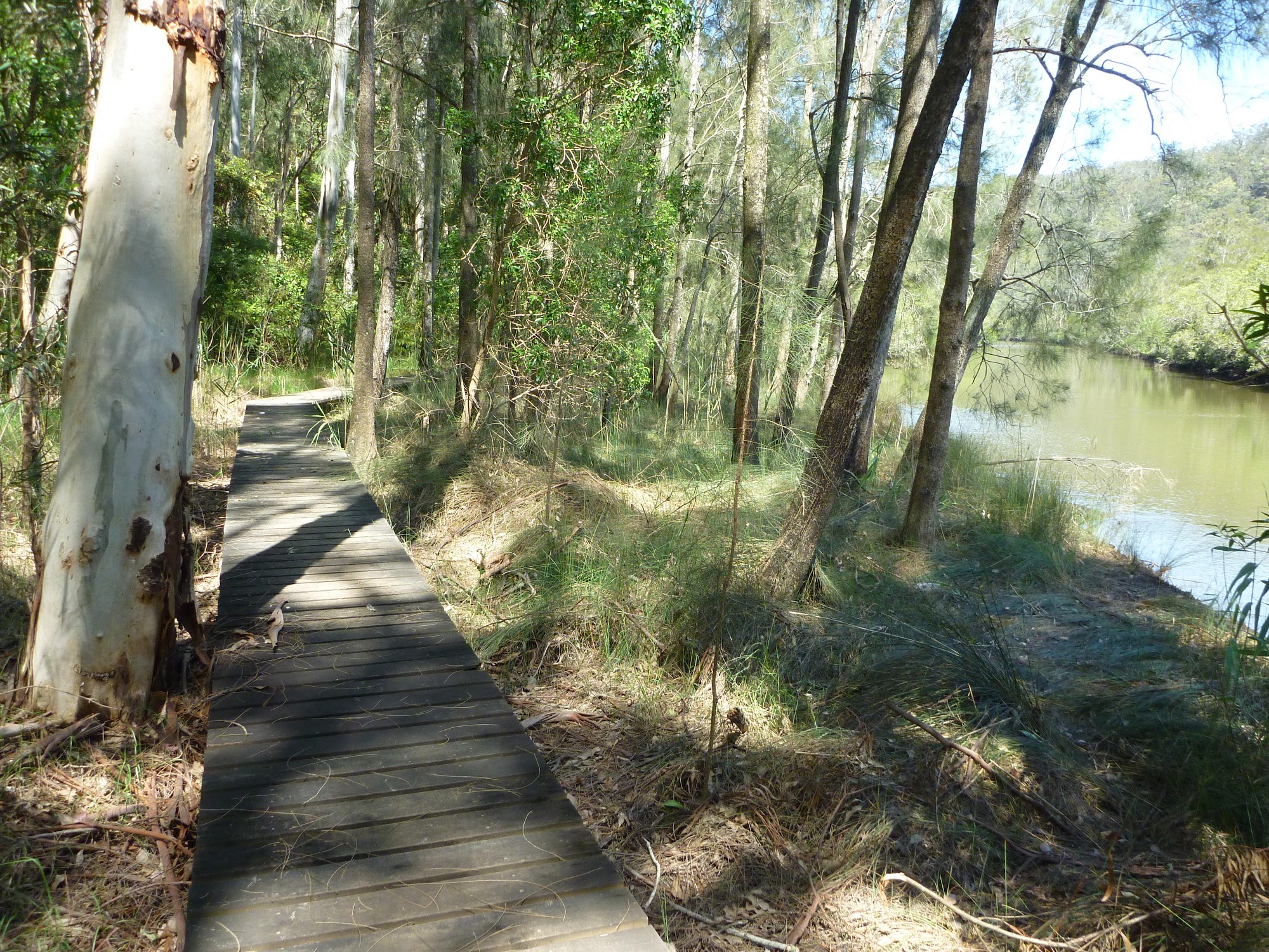
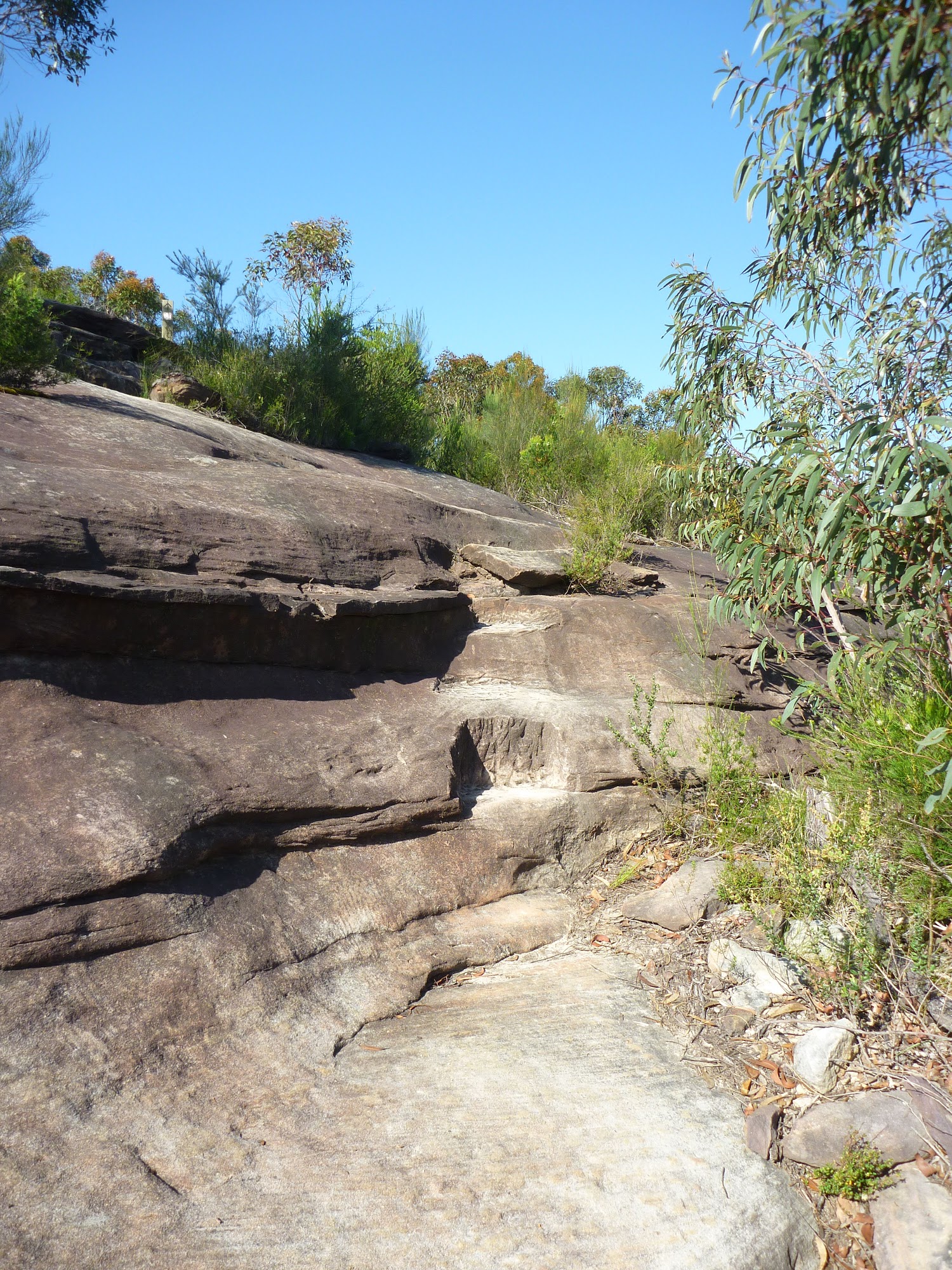
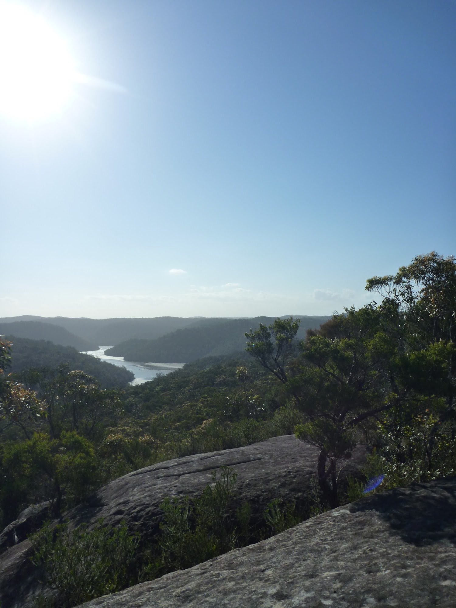
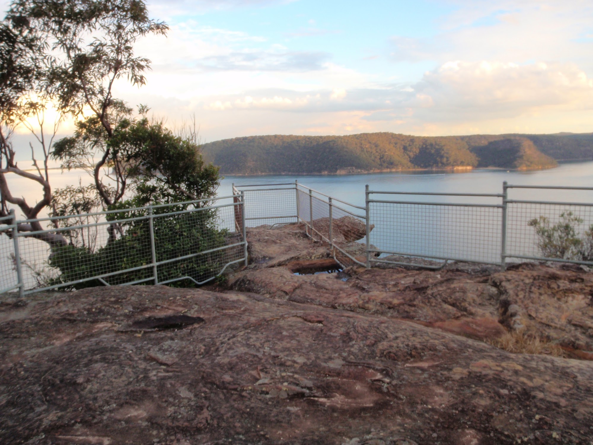
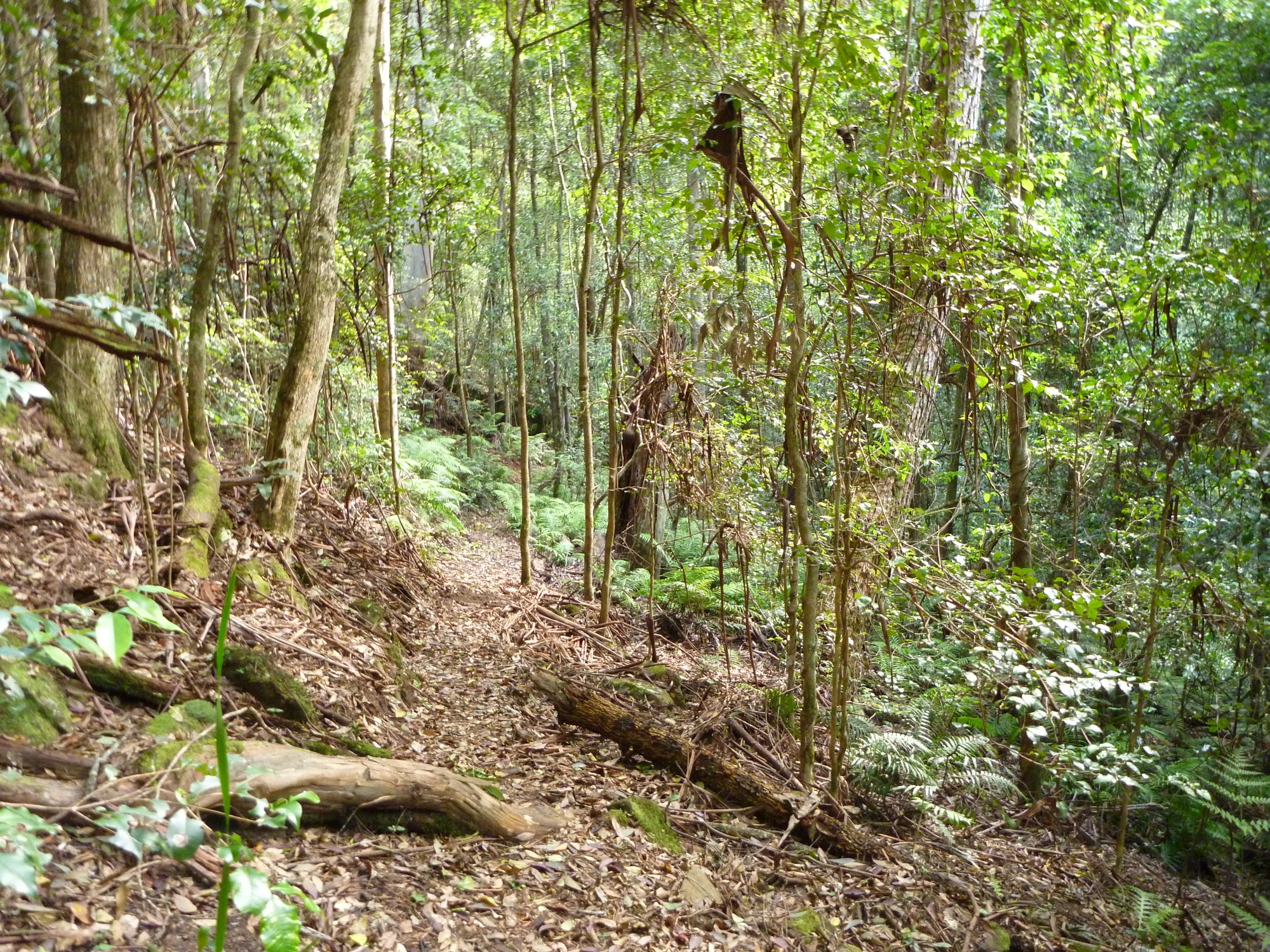
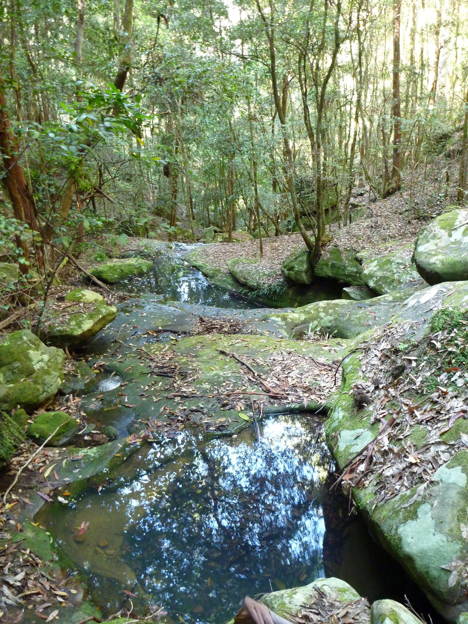
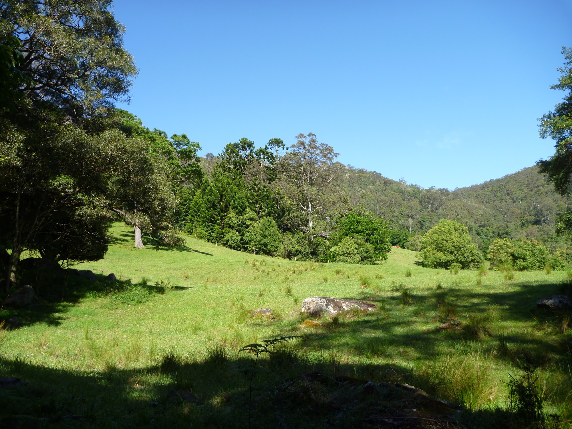
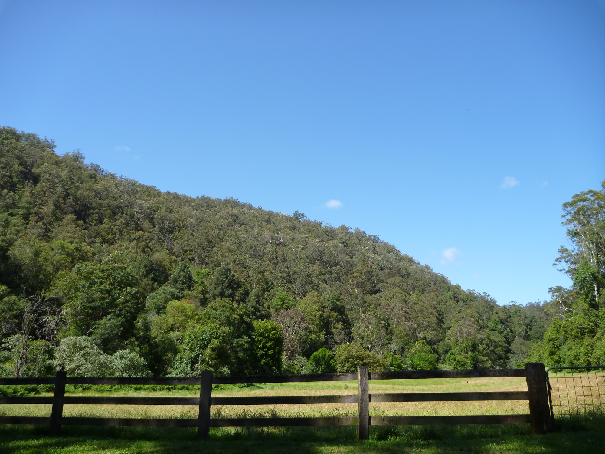
Gallery
Book
Forum
Downloads
Select Page